
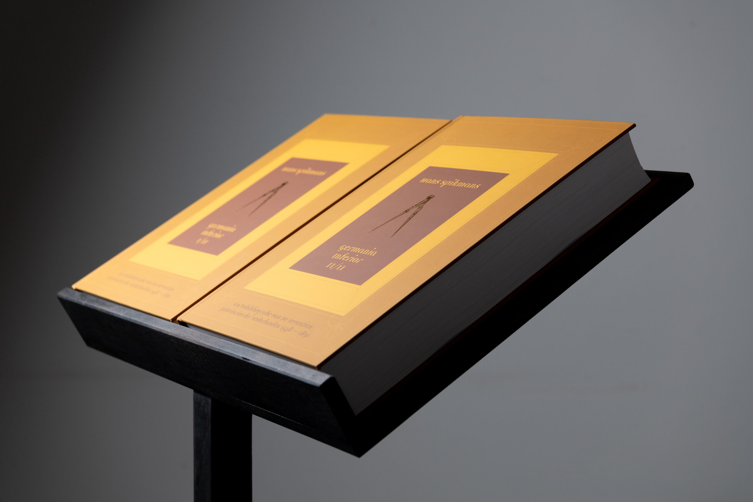
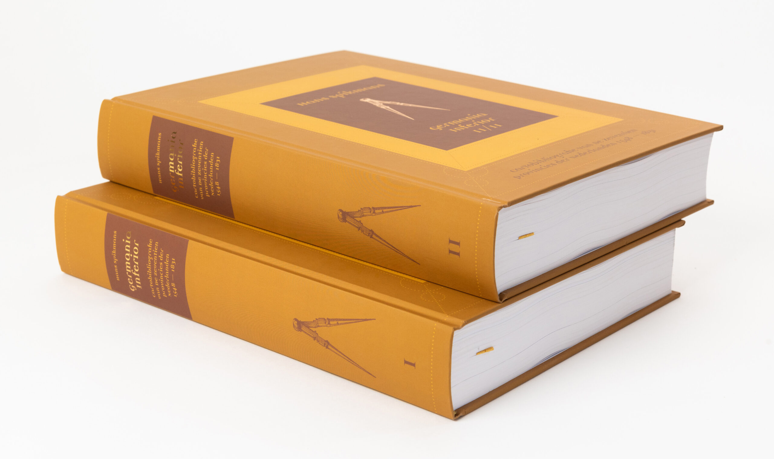
Two-volume
Cartobibliography of the Netherlands 1548 – 1831
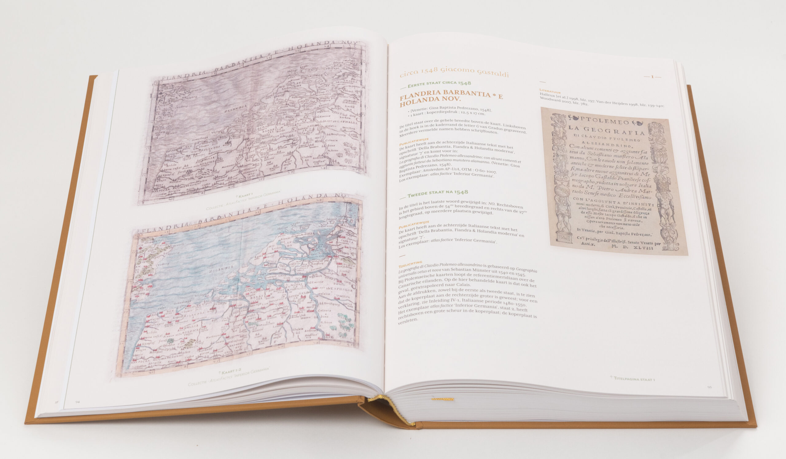
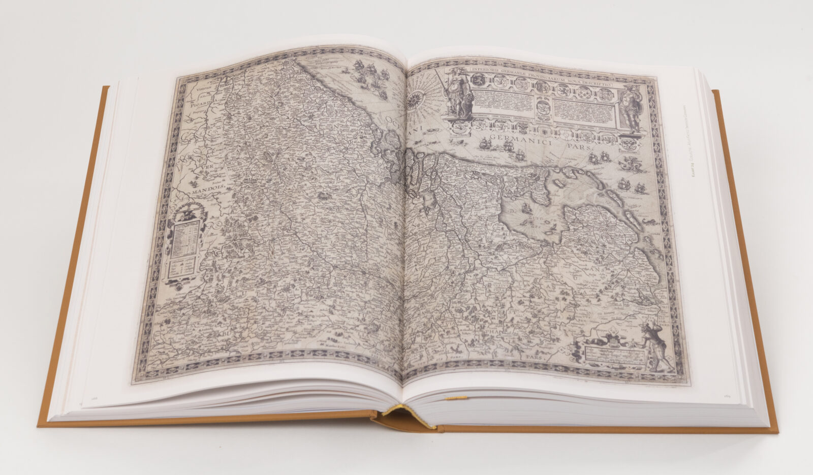
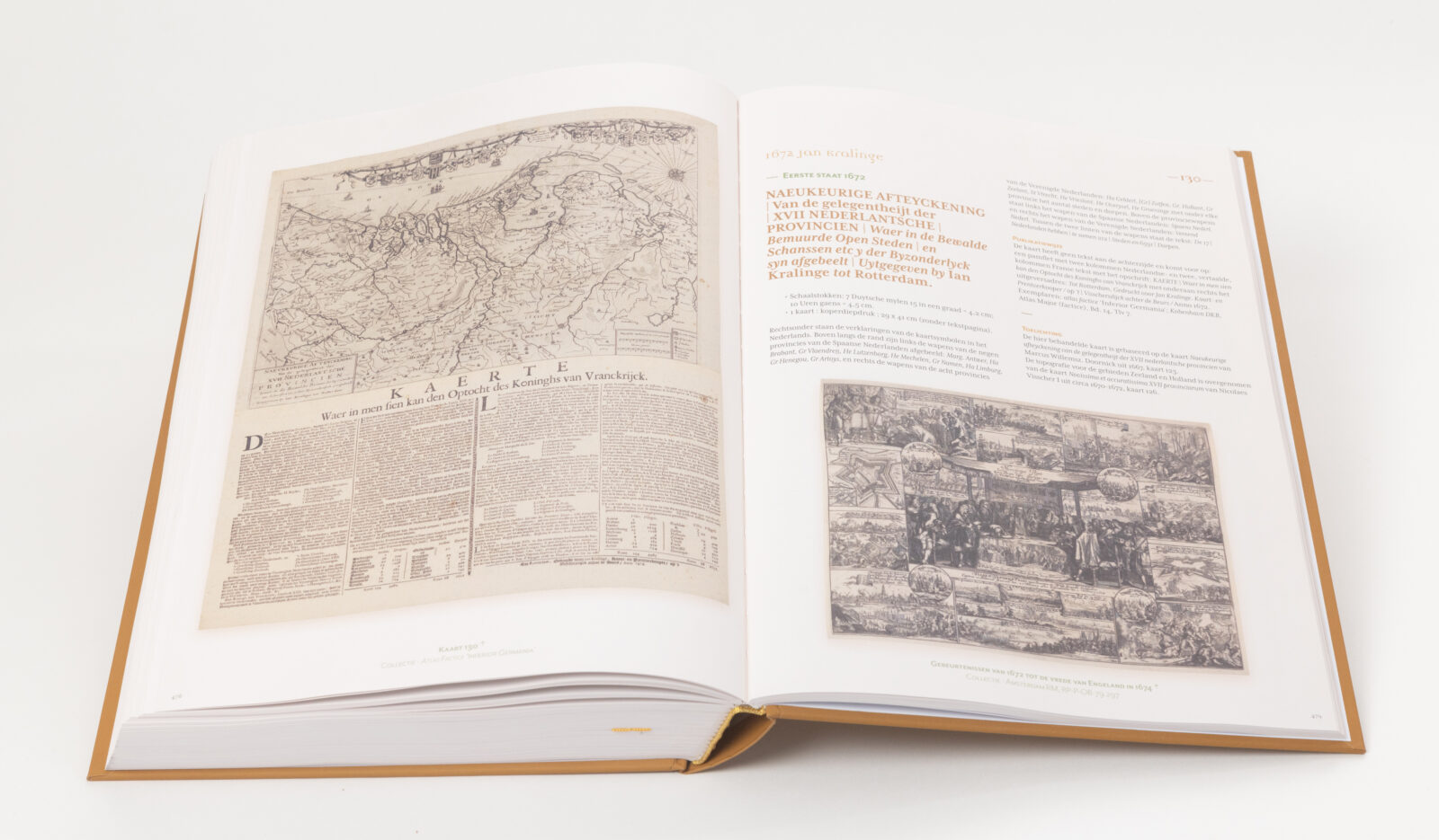
The two-volume carto bibliography Germania Inferior (‘Lower Germany’) compiled by J.G.M. (Hans) Spikmans and produced by Colorativa is published with 410 historical maps of the Netherlands in the roughly 300 years prior to 1831. In the more than 1,000-pages of the book, more than 80 new map finds are discussed and depicted. About 200 so-called ‘new states’ are described of maps that are already known. Books and atlases not previously known to present maps of the Low Countries are mentioned as well.
Research into map production in the period 1548 – 1831 yields surprising results
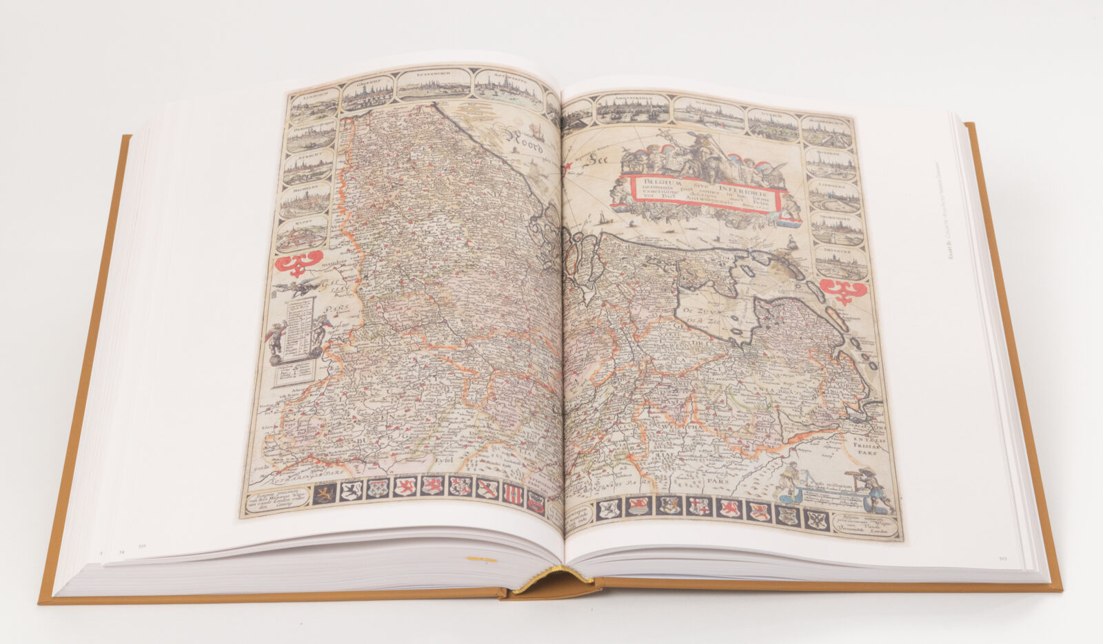
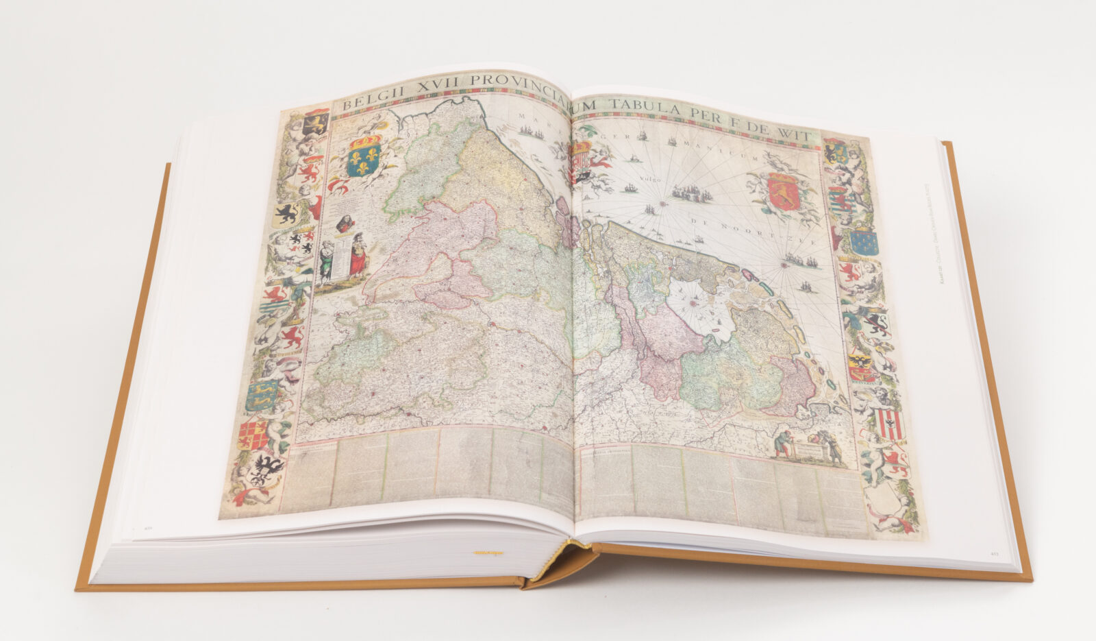
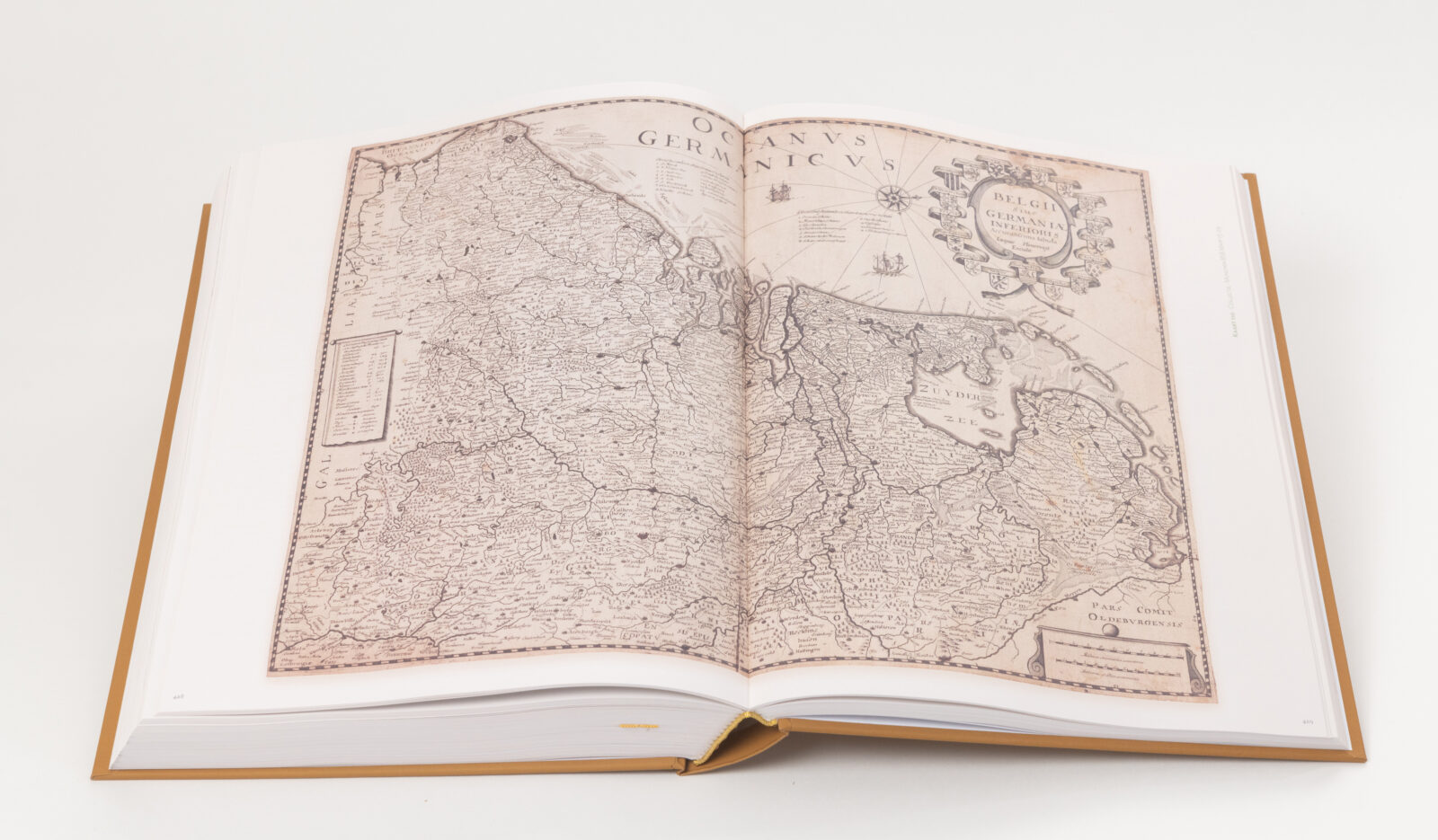
The new carto bibliography relates to what Spikmans regards to be the most interesting period in the history of the Netherlands, Belgium and Luxembourg: the time of the Eighty Years’ War, of the subsequent economic and cultural boom, and of the decline of the Netherlands in the 17th century. This time span, with its Burgundian and Habsburg periods, has produced very instructive and enlightening wall maps and folio maps, many of which are in color. Most of these maps are elaborately illustrated with beautiful cartouches. This cartography found an eager market elsewhere in Europe. After the decline of the Netherlands, France took over as leader of cartography creation and production.
In Germania Inferior, Spikmans describes the cartography of four consecutive periods: the creation of the Netherlands (1363-1543); the Netherlands as a unitary state (1544-1579); the final separation of the northern and southern Netherlands (1580-1648); and the developments from 1648 to 1800 and beyond. The civil, administrative and economic conditions of each time are sketched summarily, as are the political and military developments. Together, these introductions provide the necessary elucidating background for the aesthetic, technical and commercial advances in the field of cartography.
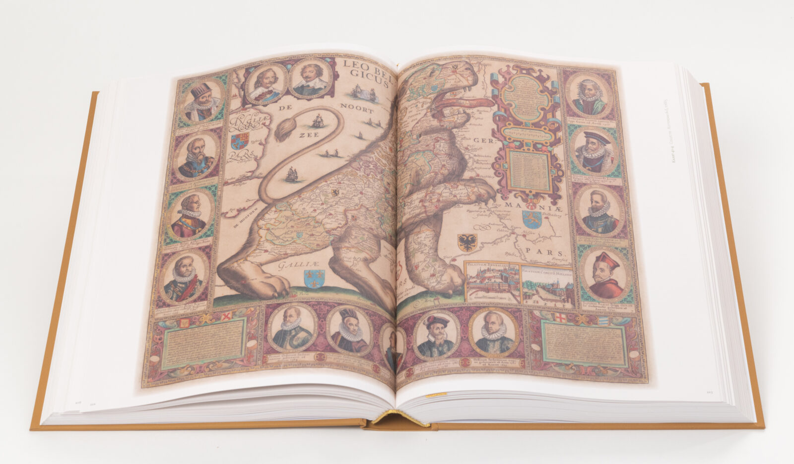
The cartography of these times is extensively illuminated in Germania Inferior. Cartographers, engravers and publishers, all sorts of collaborations, and their mostly international professional lives (beyond the boundaries of their maps), all receive consideration. The books also show how the mapping technique is spreading; and how many copper engravings change hands and are given a new life, whether or not adapted to new circumstances. Sometimes the original creator gets all the credits, but plagiarism is common. The development of cartography into an art form, not only to enrich books but also ‘to brighten up interior walls’, is discussed in detail.
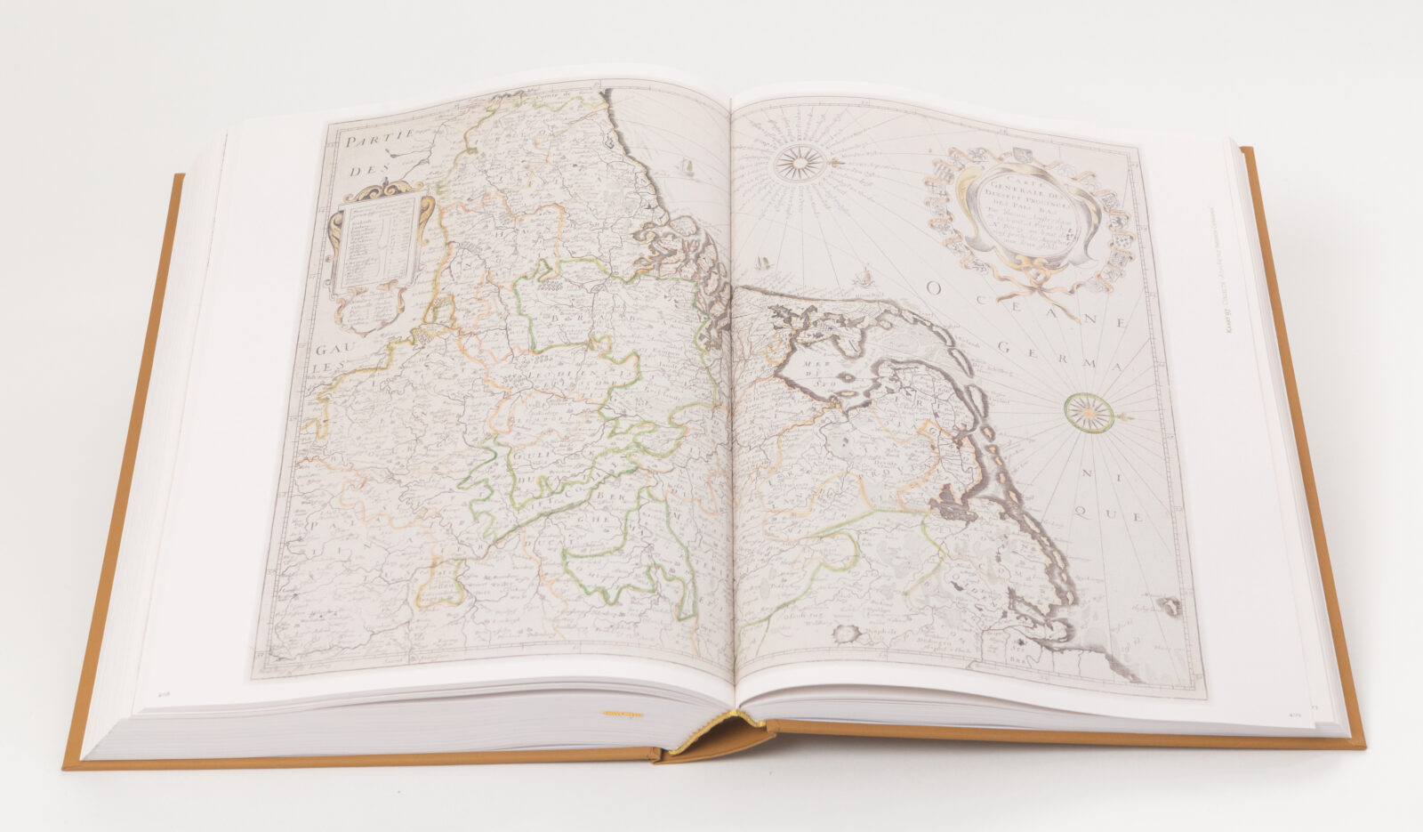
In a separate chapter, the cartography developments after 1800 in France are discussed, from the earliest period of the emergence of the Dutch contributions to the independence of French cartography.
In Germania Inferior, map lovers as well as professional map experts will find a mass of detailed documentation about the depicted maps. After H. van der Heijden’s 1998 work, this two-volume book is a great addition to the cartobibliography.
Spikmans, who has previously published about historical maps of the Netherlands in the English-language IMCOS Journal of the International Map Collectors’ Society and the Dutch-language Caert-Thresoor, has spent years researching the map production of old ‘Lower Germany’.
Acquired by leading libraries
Bayerische Staatsbibliothek München; Bibliotheek Rijksdienst voor het Cultureel Erfgoed Amersfoort; Bibliothek Deutsches Historisches Museum Berlin; Bibliothèque Fondation Custodia Paris; Bibliothèque Nationale de Luxembourg; Bibliothèque Nationale de Paris; Germanisches National Museum Nürnberg; Hendrik Conscience Erfgoedbibliotheek Antwerpen; Koninklijke Bibliotheek Brussel; Koninklijke Bibliotheek Den Haag; National Library of Finland Helsinki; Rijksmuseum Amsterdam; Staatliche Bibliothek Regensburg; Staatsbibliothek zu Berlin; Universitätsbibliothek Heidelberg; Universitätsbibliothek Münster; Universitätsbibliothek Zürich; Universiteitsbibliotheek Antwerpen; Universiteitsbibliotheek Gent; Universiteitsbibliotheek Groningen; Universiteitsbibliotheek Utrecht; Universiteitsbibliotheek UvA Amsterdam; Universiteitsbibliotheek VU Amsterdam; University Library Bodleian Oxford; University Library Cambridge.
| Client Hans Spikmans | Collaboration Art Direction | Book & Website Design | Prepress | Publishing & Print consultancy | Print procurement | Quality management | Distribution |
Collectors about Germania Inferior
The review of the book Germania Inferior in the academic cartographic journal Imago Mundi, published in June 2026, states:
“The book provides a welcome and up-to-date update of the bibliography of the Low Countries”.You have truly given birth to a phenomenal tome with your “Germania Inferior”! An achievement of stature, you have planted a milestone in cartographic bibliography.
The quality and design – the cover, the refined typography and fonts, the graphic design and beautiful photography, in color, really everything to perfection, it is both tactile and visual a feast.
Great appreciation for the countless hours you devoted to the creation of “Germania Inferior”. This is truly a magnum opus, and your publication deserves wide recognition in the world of institutions, enthusiasts, collectors and researchers of cartographic material.
My compliments for this comprehensive work, which will undoubtedly be the new standard work on the maps of the XVII provinces. There has apparently been much to discover after the two-volume edition by H.A.M. van de Heijden. Enough for many hours of reading and study pleasure.
You must be logged in to post a comment.